
CONAE and IGN presented a new product that aims to improve production processes. The development also contributes to the planning of land use planning processes.
He Secretary of Innovation, Science and Technology, Darío Genuaparticipated in the launch of the SAOCOM Provincial Mosaicsa new product jointly developed by the National Commission for Space Activities (CONAE) and the National Geographic Institute (IGN).
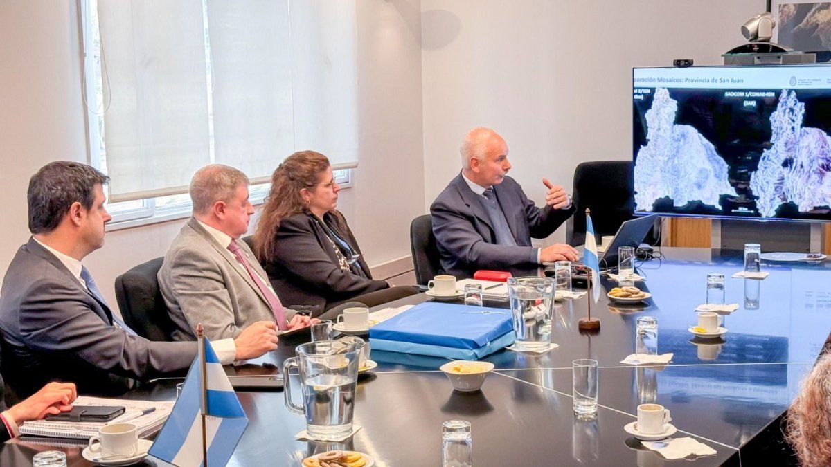
In an event held at the headquarters of the National Commission for Space Activities in the City of Buenos Aires This product was presented. It consists of a composition of several images acquired by satellites SAOCOM 1A and 1B which are processed, superimposed and combined to form a single continuous, panoramic and complete image of the entire continental territory of Argentina and the Falkland Islands.


The presentation of the new CONAE product
The SAOCOM Provincial Mosaics provide a detailed view of the territorywith a spatial resolution of 30 meters. This technology contributes to the planning of productive activities and of territorial planning.
During the opening remarks, the Secretary Dario Genua He was accompanied by the Executive and Technical Director of CONAE, Raúl Kulichevsky; the Deputy Manager of Applications and Products-GOT of CONAE, Álvaro Soldano; and the Secretary of Research, Industrial Policy and Production for Defense of the Ministry of Defense of the Nation, Raúl Marino.
What the CONAE authorities said
“This initiative is an example of the potential we have when we work together, with a clear vision and defined objectives. And it is also an example, of the contribution that can be made by the State to generate tools with a practical application to address the challenges facing the country and contribute to improving the quality of life of Argentines,” Genua said during the event.
CONAE 2.jpeg

CONAE
For its part, Kulichevsky He said that “the IGN and the CONAE They have a long and fruitful history of collaboration that began in 1997 and since then an excellent working and cooperation relationship was forged that resulted in the development of various topographic mapping products. Since the launch and operation of the SAOCOM 1A and SAOCOM 1B satellites, the collaboration between the two institutions began a new stage and This new product of the SAOCOM 1 Provincial Mosaics, made from 1,700 images recorded by our satellites, fills us with pride..”
Unlike satellites with optical sensors, SAOCOM are equipped with a Synthetic Aperture Radar (SAR) whose waves have the capacity to penetrate the ground and allow us to collect much more precise information about the humidity level, roughness and structure of objects that observes. In this way you can know in detail the evolution of crops, managing water resources either develop potential access maps for areas of mining explorationamong other applications.
This new tool is available in the CONAE Geoportal and in the IGN website.
Source: Ambito


