
It is located on the Altas Cumbres road and can be visited all year round. Learn more about this charming place.
Located in the west of the province of Córdoba, in the center of the Sierras Grandes, the Condorito Gorge National Park It was created on November 28, 1996 by Law 24,749. Its surface area reaches 37,344 hectares and belongs to the Chaco Seco ecoregion, mountain district. Due to its central location and altitude, this National Park has a unique biodiversity in the country, with various characteristics similar to Andean-Patagonian environments.
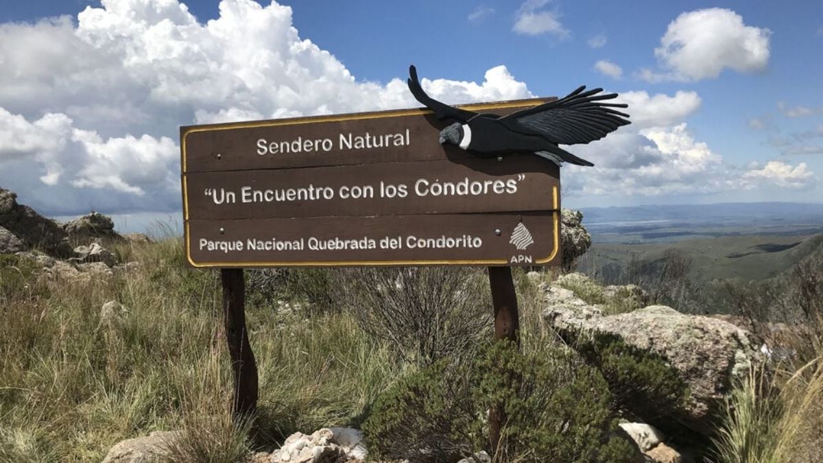
It receives its name from the presence of the Andean Condorwhich lives in the walls of the ravine, about 300 meters highwhere it is possible to observe its gentle gliding. The main conservation values of the Park are its unique biodiversity, a product of its condition as a high-altitude biogeographic island, located relatively close to various ecoregions that influence it, producing an interaction of species of the most diverse lineages.


What activities can I do in Quebrada del Condorito, Córdoba?
North and South balcony
The La Pampilla access (RP 34, km 59.5) leads to the Achala visitor center. From here, you can begin the journey to the Quebrada del Río de los Condoritos and the condor observation balconies. The North Balcony, the most visited, is a 4-hour round trip hike that does not require a guide. The South Balcony, an 8-hour round trip circuit, is only accessible with a certified trekking guide.
Picnic, fishing and camping
The Dos Puertas access (RP 34, km 47) leads to a picnic area (8 km from the Paso de las Piedras River) where you can practice sport fishing with a permit. There are no trails in this area and you can continue to the La Trinidad section.
In La Trinidad there is a camping area without services. From here begins the self-guided historical-cultural trail Baño de las Ovejas, of low difficulty and duration of half an hour.
Due to its location at the highest part of the mountain, the area records sudden changes in weather conditionsand public access may be restricted, for example in summer due to storms and fog, or in winter due to snow and ice. Average temperatures are 14.5 °C in summer and 5.5 °C in winter, with absolute minimum temperatures of -20 °C.
How to get to Quebrada del Condorito, Cordoba
Access to the Quebrada del Río de los Condoritos sector is located in the La Pampilla area, on RP34 (or Ruta de las Altas Cumbres), at km 59.5. The distances are 50 km to Villa Carlos Paz and 60 km to Mina Clavero. You can get there by car or on buses that stop in La Pampilla (Mina Clavero/Villa Dolores-Ciudad de Córdoba/Villa Carlos Paz routes).
To enter by car from the East, at the access point there is a sharp curve where the access to the bridge that crosses RP34 is located. The protected area is accessed by a 2 km gravel road that leads to the parking lot of the Visitor Center and the beginning of the pedestrian trail to the ravine.
Source: Ambito
I am an author and journalist who has worked in the entertainment industry for over a decade. I currently work as a news editor at a major news website, and my focus is on covering the latest trends in entertainment. I also write occasional pieces for other outlets, and have authored two books about the entertainment industry.


