
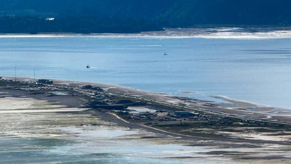
The tremor had a magnitude of 8.8. The images allowed precisely to capture the height, shape and direction of the wave.
A NASA satellite was able to capture Kamchatka’s tsunami.
Euronews
He Swot satellite managed to register, from space, tsunami that followed the powerful earthquake of magnitude 8.8 It happened July 30 in front of the coast of the Kamchatka Russian Peninsula. The observation was made 70 minutes after the earthquake and allowed to obtain a three -dimensional image of Attack edge of the wave caused by the phenomenon.
The Swot mission (Surface Water and Ocean Topography), jointly developed by the POT and the CNES of France, allowed to measure with precision height, shape and direction of the displacement of the wave.


The shocking wave in open sea
In the trajectory highlighted in the image captured by the satellite, the data showed a maximum point higher than 45 centimeters high, marked in red. The information too allowed to visualize how it moved The wave front through the ocean.
Swot’s results were compared to a forecast model prepared by the Tsunamis Research Center of the Oceanic and atmospheric national administration (NOAA) of the United States. The comparison of both records served to validate and improve the accuracy of the projections, something key to prevention and early response to these events.
Swot 2 satellite

Spatielle Canadeienne
How a tsunami is formed
A earthquake or a Submarine sliding It can generate a tsunami When the released energy is so large that it displaces the complete water column, from the oceanic background to the surface. From that point, waves that travel in all directions are produced, a process similar to that of the waves that are formed when throwing a stone in a pond.
“A 45 cm high wave It may not seem much, but tsunamis are waves that extend from the bottom Marino to the surface of the ocean, ”he explained Ben Hamlingtonoceanographer of Jet Propulsion Laboratory (JPL) of the POT.
“What could be only 30 cm or 60 cm in open sea, can become a 9 -meter wave in less deep waters on the coast”He warned.
Scientific advances
The data obtained by Swot Not only confirmed the presence and trajectory of the tsunami, but also helped refine prediction models.
“Satellite observations They help researchers better analyze the cause of a tsunami and, in this case, they also showed us that Tsunami’s forecast from the NOAA was successful, ”he said Josh Willisalso oceanographer JPL.
Thanks to this type of measurements, specialists have more precise tools to anticipate the behavior of a tsunami and reduce its impact on coastal areas, where waves Initially modest on the high seas They can be transformed into water walls capable of razing entire communities.
Source: Ambito


