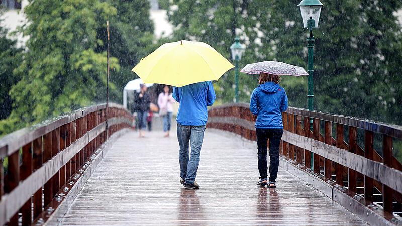
On the southern side of the Alps, there are frequent thunderstorms and heavy showers, which can also be severe in places. On the other hand, loosening and even larger sun windows are to be expected again in the far east and south-east. In the hot and sometimes muggy air mass, however, the risk of showers and thunderstorms will also increase significantly there from the late afternoon.
Warning for Vorarlberg and North Tyrol
The ZAMG issued a rain warning for the west of Austria for Friday. Due to a low in Genoa, heavy precipitation is expected for Vorarlberg and parts of North Tyrol until Saturday. In the affected areas, widespread rainfall of 50 to 80 mm is to be expected, but up to 150 mm could also come together, it said. As a result, there is a risk of mudslides, small-scale flooding and flooding. The largest amounts of rain are likely to fall north of the Inn, on the border with Bavaria. In the night to Saturday, the focus of precipitation should shift more to the lowlands. The German Weather Service also warns of continuous heavy rain on the edge of the Alps (more on this at the end of the article).
The prognosis for Upper Austria:
From the south pull on today Friday occasional rain showers and thunderstorms. Especially in the afternoon, the downpours can be “quite heavy”, and there will also be strong winds, according to the ZAMG forecast. Sunny phases are also possible in between. While the temperatures in the extreme east of Austria reach up to 35 degrees, they do not go beyond 27 degrees in this country. The dense rain clouds are also hanging over the country at night, and the showers are likely to last longer, especially in the Salzkammergut.
The forecast for tomorrow is similarly bleak Saturday out. It will remain cloudy and rainy. The potential for showers is particularly high in the afternoon. “Most rain falls in the Innviertel and in the Salzkammergut,” predicts the ZAMG. The wind peaks at around 40 km/h. 22 degrees are the highest of feelings. The good news: “There are also a few dry phases.”
Sunday: In the morning dense clouds will remain. Rain is possible in the southern mountains and on the border with Lower Austria. Then it’s uphill again. During the day, the clouds are expected to move east. In many places you can look forward to sunshine again, in the afternoon there are still isolated showers to be expected. Highs of up to 26 degrees are announced.
At the beginning of the week, the weather throughout Austria gradually calmed down. In Upper Austria the Monday start with sunshine, then thicker cumulus clouds will mix in, especially in the east of the country. However, precipitation is hardly expected. Up to 26 degrees are possible.
Of the Tuesday Then it is generally sunny, only in phases dense clouds can be present, which disappear again in the evening. Regionally, the daily highs in Austria can again reach up to 30 degrees, in Upper Austria a maximum of 27 degrees is expected.
“Thunderstorms have broken out”
Storms in Austria on Thursday claimed five lives. The meteorologists did not have on their radar that the thunderstorms in Carinthia, Lower Austria and Styria would be so violent. As a general warning of such storms, an expert from ZAMG referred to the great momentum of the weather events with “enormous acceleration”. Because of this and because the existing forecast models are not yet able to accurately assess the initial situation, there could be major deviations in extreme cases. Thunderstorm warnings would have generally existed for today. “But the thunderstorms veered away,” said the meteorologist. Reports on Thursday’s storms:
- Tree fell on hiking group: Upper Austrian died in a storm
- Two children died in Carinthia: Horror after storms in Austria
- Unpredictable Thunderstorms: “Within minutes wind gusts of 100 km/h”
- Two dead and dozens injured: Tuscany and Veneto in a state of emergency
Bavaria: warning of “extremely heavy continuous rain”
The German Weather Service warns of continuous heavy rain on the edge of the Alps. In the course of Friday and Saturday, “extremely heavy continuous rain” between 50 and 140 liters per square meter is possible within 48 hours, intensified by thunderstorms. It could also rain heavily in the rest of Old Bavaria, with amounts between 50 and 80 liters per square meter. As a precaution, the Bavarian Red Cross put the air rescue service of the water rescue service on increased standby.
According to the weather service, the trigger is a high altitude low that moves from the Lake Constance area over the south of Bavaria during the day. Smaller bodies of water in particular could therefore rise sharply within a short time and burst their banks, the Bavarian flood news service said on its website. “Regionally, larger regions can also be affected by flooding.”
Due to the “very dynamic weather development” it was still unclear in the morning exactly where streams and rivers could overflow their banks. “However, the risk of being hit by heavy heavy rain increases towards the south and east,” wrote the flood experts.
The Bavarian Red Cross has ordered alarm level 1 of 3 for the air rescuers of the water rescue service, as a BRK spokesman announced. The “Air Rescue Specialists” are emergency services who are flown over the operational area in a helicopter and can rescue injured or helpless people. Most recently, according to the BRK, the air rescuers from the Bavarian water rescue service were deployed during the Ahr valley flood in Rhineland-Palatinate.
Source: Nachrichten


