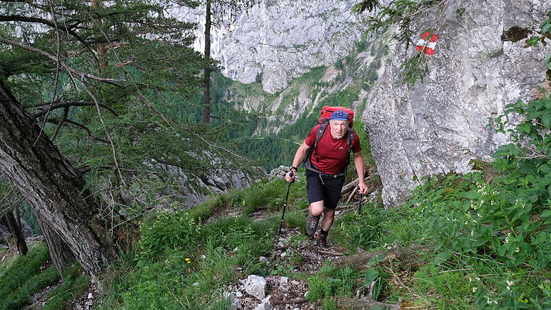
The continuation of this multi-day mountain tour begins in the deeply cut Höllental. But this is also a good starting point if you only have the Rax as your goal. Paths lead up to the extensive bergstock from all sides, some of them as selective via ferratas.
We chose the Rudolfsteig for the ascent, a partly steep, rocky path that leads up to the west of the Großer Höllental. Short passages are secured with ropes, but there are no technical difficulties. The start is at the Weichtalhaus. You cross the Schwarza on a wooden bridge and follow the road through a tunnel to the entrance. At the edge of the gorge, the trail meanders upwards, granting impressive views down below. It only gets flatter after almost 1000 meters in altitude and through young forest you reach the mountain pine zone at Klobentörl.
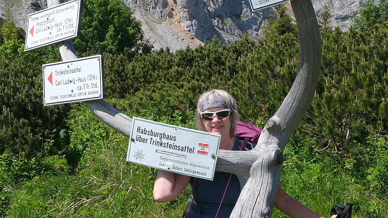
From here you follow the signposts in the direction of the Habsburghaus and reach a flat saddle below the disc forest height through blooming mountain meadows, from which the destination of the day can already be seen. The venerable Habsburg house with the red-white-red window shutters comes very close to imagining a mountain hut. From here you can choose numerous paths that lead across the plateau.
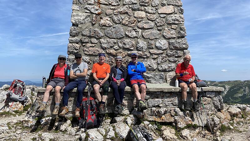

We have created a 5-summit tour and the next day we first follow the Bärenlochsteig, which we leave at a junction in the direction of the Grasbodenalm. It goes higher through a pasture area and just before the ascent to the Heukuppe we take the unmarked trail to the right up to the Gamseck. Over steep cliffs you can see the nearby Schneealpe. Hochschwab, Haller Mauern and Ötscher can be seen in the background. After the short descent back, the wide ridge path leads up to the highest peak of the Rax, the Heukuppe with the brick war memorial. About 200 meters below, the Karl-Ludwig-Haus lures you to stop and you should not miss it.
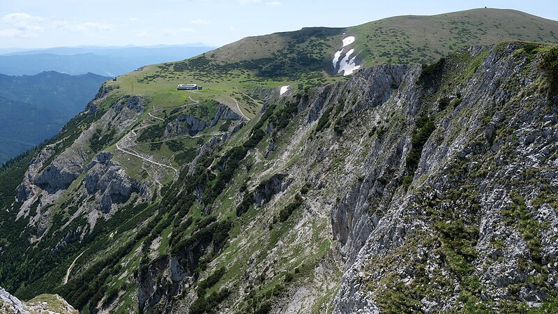

The next summit is the Predigtstuhl, which is reached on a wide gravel path. From there, descending to the east, you reach the Bismarcksteig, which winds its way around the mountain. Another stop is reached at the Neue Seehütte. The subsequent 150 vertical meters to the Preinerwand are definitely worthwhile. The view sweeps over the cliffs down to Hirschwang and Reichenau, the end points of these tour days.
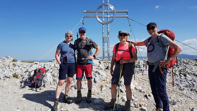

From here it’s a leisurely up and down ride along the walls and the Jakobskogel, the last summit on this panoramic tour. Shortly thereafter, the Ottohaus is reached with the last descent of the day. The refuge, built in 1893, is often accessed from the mountain station of the cable car. It’s only half an hour from there. Despite the self-service, you still feel transported back 100 years in the section room.
If you don’t choose the cable car for the descent, you can return to the valley on the beautifully landscaped Törlweg. The climb, which leads down in long serpentines, begins through a rock breach. Shortly after the Knappenhof, at the Aus Schüttanger, turn left and choose one of the paths down to Hirschwang.
- Arrival and starting point: Arriving by train is a good idea. From the train station in Payerbach there are bus connections to Hirschwang and the Weichtalhaus.
Arrival and departure via Vienna/Meidling with hourly departures to Payerbach (fahrplan.oebb.at, App: ÖBB Scotty). - Characteristic: Extensive mountain hike, especially the ascent on the steep Rudolfsteig has it all. Sure-footedness is required and the meters in altitude add up to the Habsburghaus. The paths on the plateau are promising. There are no technical difficulties. Stable weather is good, even if there are always huts to stop by.

Information about the tour
Höllental Habsburg House
walking time: 5 to 6 hours
Length: 10 km
Altitude: 1400,
Route: Höllental (540 m) – Klobentörl (1634 m) – Scheibwaldhöhe crossing (1900 m) – Habsburghaus (1786 m)
Download to the article
GPS track Weichtalhaus – Rudolfsteig – Habsburghaus
ZIP file from 08/19/2022 (15.68 KBytes.)
download
Habsburghaus-Ottohaus
walking time: 5 to 6 hours
Length: 14 km
Altitude: 800 up, 900 down,
Route: Habsburghaus (1786 m) – Gamseck (1857 m) – Heukuppe (2007 m) – Karl-Ludwig-Haus (1804 m) – Predigtstuhl (1902 m) – Neue Seehütte (1643 m) – Preinerwand (1783 m) – Ottohaus (1642 m)
Download to the article
GPS track Habsburghaus – Heukuppe – Ottohaus.zip
ZIP file from 08/19/2022 (21.13 KBytes.)
download
Ottohaus-Hirschwang
walking time: 2 hours 30 minutes
Length: 7 km
Altitude: 1150 from,
Route: Ottohaus (1642 m) – Hirschwang (500 m)
Download to the article
GPS track Ottohaus – Törlweg – Hirschwang
ZIP file from 08/19/2022 (9.46 KBytes.)
download
- Internet: wieneralpen.at, Reichenau.at, raxalpe.com
By the wayside
Retreat and overnight stay: Das Habsburg house of the mountain club is a classic mountain hut with a panoramic view of the dining room. In terms of atmosphere, it could have been the same 30 years ago (habsburghaus-rax.at).
That Karl Ludwig House of the ÖTK Wien under the Heukuppe is a good stop and overnight stop, they rely on organic products and sustainability (karlludwighaus.at).
For a rest before the last climb up to the Preiner Wand, the New sea hut on.
At the end of crossing the Rax plateau you come to the Ottohaus of the ÖAV Reichenau. After the day guests are back in the valley from the nearby cable car, things get quieter. The self-service makes it feel a bit impersonal. (raxalpe.com)
Source: Nachrichten

