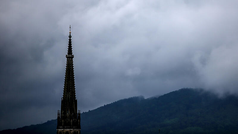
That’s what the experts at ZAMG (Central Institute for Meteorology and Geodynamics) predicted on Thursday. The cold front and an Italian low bring dense clouds on Friday and spread rain, “further up” temporarily wintry conditions, for example on mountain passes. According to the Central Institute for Meteorology and Geodynamics (ZAMG), it will be dry again in most of the country by Sunday at the latest weather into the house, the sun is also showing itself.
The snow line drops significantly
On Friday, the focus of precipitation will gradually shift to the eastern half of the country. Here it cools only moderately, while the cooling in the west is much more intense: the snow line drops to around 1,300 meters above sea level, even to around 1,000 meters for a short time. The wind turns west to north-west and freshens up at times lively on the eastern edge of the Alps and in the Danube region. The early temperatures are still four to twelve degrees, but the maximum daily temperatures usually do not exceed seven to 14 degrees. In the evening it cools down to ten to two degrees.
South of the main ridge of the Alps, however, it will be dry again on Saturday and will soon be quite sunny weather. Otherwise there will be a lot of clouds and along the north side of the Alps there will probably be some rain or light showers occasionally. A little snow falls above around 1,300 meters above sea level. The wind blows moderately, in the east and on the mountains sometimes briskly or even strongly, from west-northwest. The early temperatures are between two and ten degrees, the maximum daily temperatures between seven and 14 degrees.
On Sunday it will remain dry throughout the country during the day. However, there will initially be a few residual clouds as well as fog and high fog fields. Gradually it loosens up and the sun shows itself. The cloud fields, which will later move through from the west, remain harmless for the time being, the first rain showers are only possible in Vorarlberg in the evening. The wind often only blows weakly from different directions, moderate easterly winds can arise in the Danube region. In the morning it will be slightly frosty with minus two to plus seven degrees, during the day a maximum of seven to 13 degrees will be reached.
On Monday there will be morning fog again locally. A few heavier patches of cloud will also pass eastwards in the morning, with occasional short showers. Apart from that, there will be dry weather with sun and clouds in alternation weather. The wind will blow weak to moderate from a westerly direction, with morning temperatures of minus two to plus seven and daily maximum temperatures of nine to 15 degrees.
quiet weather turns up on Tuesday. In the valleys, depressions and basins, morning fog patches must be expected. The sun is gradually making its way, only in the east some high fog areas can remain tough. Only a few thin cloud fields are moving towards the sun across the sky. The wind will blow moderately to briskly from the south-east to south-west in the east and in the mountains, with slight foehn in places. The morning temperatures are minus two to plus eight degrees, the maximum daily temperatures ten to 15 degrees, with a foehn locally up to 18 degrees.
Source: Nachrichten


