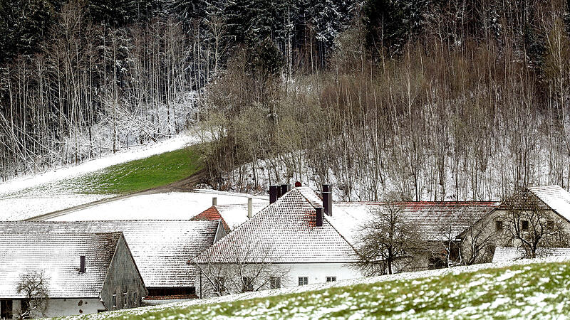
At the Friday a fault zone with dense clouds and rain is expected along the main Alpine ridge and in the north and east. Deep clouds with a few raindrops persist even in the far south. It is expected to remain rain-free in south-eastern Styria.
During the day, the snow line moves between 1,300 and 1,700 meters above sea level, in the evening it begins to drop in the north-east with cold air seeping into the lowlands. The wind blows briskly from west to north-west, especially at higher altitudes, towards evening a cold north wind freshens up in the north-east, with morning temperatures of one to six degrees and maximum daily temperatures of four to ten degrees.
Snow down to low altitudes
At the Saturday it can still snow or rain in the north and east in the morning and in the morning. During the day, the snowfall line lies between low elevations in the north and north-east and 1,200 meters in Salzburg. In the west and south the sun comes out outside of the fog zones.
The wind will be weak to moderate from West to North. The early temperatures are minus three to plus three degrees, the maximum daily temperatures in the north and northeast are minus one to plus two degrees, otherwise four to nine degrees.
Interplay of sun and clouds on Sunday
In Carinthia, East Tyrol, south-eastern Styria and southern Burgenland, am Sunday dense clouds all day and with a snow line between 700 and 1,000 meters above sea level it rains here at times. Everywhere else in the morning there is an interplay of clouds and sunshine.
In the afternoon the clouds finally become fewer and the sun appears more and more often. Only in the west does cloud cover increase in the evening. The wind will be weak to moderate. In the morning it is minus four to plus three degrees, in the afternoon five to ten degrees.
Rain in the west, south stays dry
During the first half of the day, am Monday A few denser clouds repeatedly penetrated from the west. With a snow line between 700 and 1,200 meters above sea level, repeated rain showers must also be expected. In the south, on the other hand, it will remain largely dry. In the afternoon the clouds become less and the sun appears more often.
In Vorarlberg and Tyrol, however, the next clouds are already gathering from the west towards evening. The wind will be weak to moderate from west to northwest. The morning temperatures are minus four to plus four degrees, the maximum daily temperatures five to ten degrees.
Rain and snowfall on Tuesday morning
A low in the south is shoveling Tuesday dense clouds in the eastern Alps. You wait in vain for the sun. In addition, it rains or snows widely from East Tyrol to southern Burgenland during the morning hours. In the course of the afternoon, the precipitation finally reaches north and east across the main Alpine ridge.
The snow line will drop to between 300 and 1,000 meters above sea level by the evening. The wind blows in the northeast partly briskly from southern directions. The morning temperatures reach minus four to plus two degrees, the maximum daily temperatures two to seven degrees.
Source: Nachrichten


