Image: Manfred Fesl
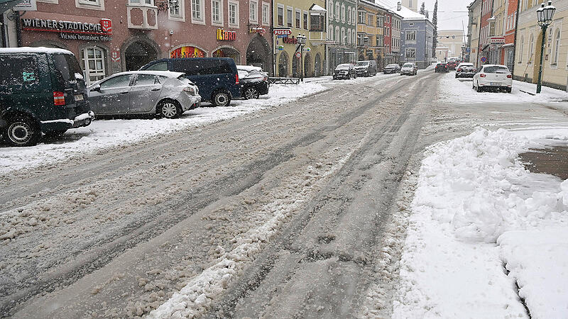
Heavy snowfall caused traffic delays throughout Austria on Thursday, with large amounts of snow expected especially on the north side of the Alps. There will be snowfall until Sunday, predicted Geosphere Austria (formerly ZAMG) in a broadcast on Thursday. At the beginning of the semester break in Vienna and Lower Austria, wintry high-pressure weather with lots of sunshine is announced on Monday. A live blog about the current weather events in Austria can be found at the end of the article.
Snow also falls in the lowlands
South of the main ridge of the Alps and also in Vorarlberg there are Friday throughout the day an interplay of dense clouds and sunny sections. Further north and east, on the other hand, dense clouds will dominate all day. It also rains and snows frequently from the cloud layer, but mostly from the afternoon hours in the north of the Alps between the Tyrolean Unterland and the Mostviertel. The snow line is between 700 and 1,000 meters above sea level. Initially, however, snowflakes can mix in the north-east down to the lowlands. The prevailing wind direction is west to northwest. During the course of the day, the wind freshens up briskly to strongly north of the main Alpine ridge, and stormy in the mountains. The temperatures in the morning are between minus three and plus four degrees. The afternoon temperatures are reached with five to eleven degrees.
Intense snowfall also at the weekend
From Vorarlberg along the northern side of the Alps to the Mostviertel, but also in East Tyrol and Upper Carinthia, the Saturday dense clouds and with a snow line between 400 and 1,000 meters above sea level, it rains and snows heavily at first. In the afternoon, however, precipitation will decrease overall. Further to the east and south-east, however, there will initially be a few denser clouds in addition to sunshine. These also bring rain locally, for example in the area of the Vienna Woods. From noon onwards, however, sunny weather can assert itself more and more often. It is stormy in the entire mountainous region, but strong gusts of wind from west to north can also be expected over the lowlands in the north and east. The early temperatures are minus three to zero degrees in the south, plus one to plus five degrees elsewhere. The maximum daily temperatures are two to eleven degrees, with the highest values in the south.
The Eastern Alps remain on Sunday in a marked northerly current. Embedded in this, another fault zone moves from the west over Austria during the course of the day. It is already snowing and raining in the entire western half of the country in the morning, and towards evening the precipitation will reach Lower Austria. With the onset of precipitation, the snow line begins to rise from the west to 700 to 1,000 meters, in the east it lies in the lowlands. The wind will blow strongly to stormy in the west with disturbance lift. The early temperatures are minus five to plus two degrees, the maximum daily temperatures reach minus one to plus eight degrees.
Bright spot on Monday
With increasing air pressure, the last remaining faults between the Tyrolean Unterland and the Mostviertel will disappear in the course of the morning on Monday. The afternoon will be mostly sunny, with föhn winds in the south. The wind will blow moderately from northerly directions. The early temperatures are minus seven to minus two degrees, the maximum daily temperatures reach minus two to plus six degrees.
In Upper Austria, the precipitation should last until the middle of the week, predicts Josef Haslhofer from Geosphere Austria. You can read more about this in this report.
Source: Nachrichten


