Image: Hörmandinger
Friday will bring dense clouds, especially in the south, but it will remain dry. The sun will appear more often in the rest of the country. Saturday offers ideal conditions for outdoor excursions. According to Geosphere Austria, sunshine dominates the whole country. The coming week will then start with lots of clouds and some snowfall or rain. The forecast for Austria in detail:
while on Friday in the north and east as well as in northern Burgenland the sunny weather character prevails, in the parts of the country south of the main Alpine ridge as well as in south-eastern Styria and in central and southern Burgenland the sun often has to be content with a place in the sky next to numerous dense clouds. Occasionally, with a snow line between 800 and 1,300 meters above sea level, it can also rain or snow slightly over the Alpine peaks. The clouds eventually become less and less as the afternoon progresses. The wind will be weak to moderate. The early temperatures are between minus three and plus three degrees. The daily maximum temperatures reach seven to twelve degrees.
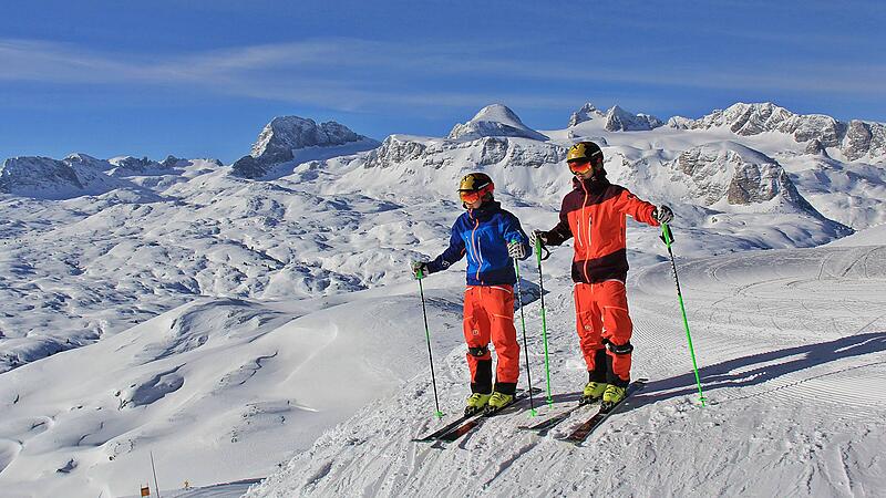
Perfect weather for excursions prevails on Saturday: The sun will dominate across the country well into the afternoon. After that, dense clouds will gradually appear again from the north, which will slowly spread southwards to the northern edge of the Alps by the evening. The wind comes from west to north-west and picks up moderately to briskly in the Danube valley, in the eastern lowlands and in foehn valleys on the southern side of the Alps during the course of the day. After minus five to plus two degrees in the morning, the thermometer climbs to seven to 14 degrees during the day. According to a forecast by Gesophere Austria (formerly ZAMG), it will be warmest in south-eastern Styria.
At the Sunday the clouds will then predominate again from Salzburg’s Flachgau to northern Burgenland. Regionally, the forecast also predicts rain or snowfall. The snow line is between 300 and 800 meters. In the south, the sun continues to shine most of the time. In the north, moderate to brisk winds are noticeable. In the morning the temperatures are between minus five and plus three degrees. The daily highs are between three and ten degrees.
Influence of low pressure at the start of the week
At the start of the week on Monday a low-pressure influence brings extensive cloud cover and some regional snowfall or rain, especially in the south and east. At lower altitudes below 300 meters it mostly stays with rain. The sun can only rarely fight its way through – most often still in the north. There is only a light wind. The early temperatures are between minus four and plus two degrees. The maximum temperatures are forecast at two to eight degrees. It gets warmest in the west.
At the Tuesday a slight disturbance will again bring dense cloud fields across the country. Especially in the eastern half of Austria there is still little snowfall or rain. The snow line is initially around 300 meters, but rises to around 700 meters during the day as the precipitation subsides. Regionally there are one or the other short sun window during the day. The wind will be weak to moderate. Only in the north-east and on the mountains can there also be brisk winds from the south. Temperatures in the morning range from minus four to plus two degrees. In the afternoon the thermometer can show five to ten degrees.
- How will be the weather in your region? On nachrichten.at/wetter you will find a 10-day forecast, current readings and weather maps.
Source: Nachrichten


