
More than 50% of the beaches in Florianópolis and other Brazilian tourist destinations are affected by an outbreak of viral diarrhea caused by water contamination. Learn how the map works that alerts you about safe and prohibited areas.
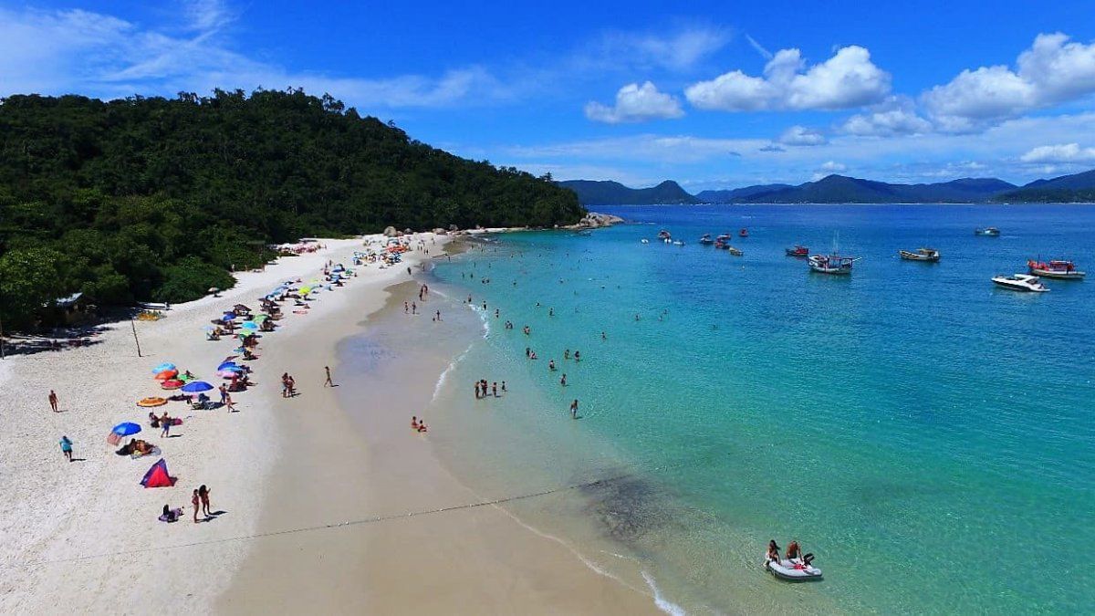
The state of Santa Catarinain Brazilfaces a health crisis which seriously affects its main tourist attraction: the beaches. More than 50% of the coasts were declared unfit for bathing due to a viral diarrhea outbreak related to water pollution. Among the most compromised areas are popular destinations such as Canasvieiras, I will swear, Bombinhas and Camboriú Spaall very frequented by Argentine tourists.
The problem, attributed to the collapse of sewage systems and the dumping of untreated waste, was aggravated by the increase in visitors and unfavorable weather conditions. Local authorities, together with the Institute of Environment of Santa Catarina (IMA), implemented strict controls and regularly update a Balneability Map to inform the population about safe beaches and those with health risks.


Brazil Beaches.jpg

NA
What is the balneability map?
He Balneability Map It is a tool developed by the IMA that indicates the quality of the water on the beaches of Santa Catarina. This map classifies coastal areas using a flag system:
- Red flags: Beaches not suitable for bathing due to high levels of contamination by bacteria, viruses or other pathogens.
- Green flags: Beaches considered safe and suitable for recreational activities.
Monitoring includes laboratory tests that detect the presence of microorganisms such as Escherichia coliresponsible for gastrointestinal diseases. This allows tourists and residents to make informed decisions and prevent health risks.
Balneability Map of the Santa Catarina Environmental Institute (IMA)

Santa Catarina Environmental Institute (IMA)
How to consult it?
The Balneability Map is available online through the official site of the Santa Catarina Environment Institute. There, the conditions of each beach are updated in real time, allowing you to verify which ones are safe and which ones should be avoided.
Steps to consult the map:
- Enter the official IMA website.
- Select the “Beachability” or “Beach Map” section.
- Search for the beach of interest in the list or the interactive map.
- Consult the color of the assigned flag to evaluate the risk.
This resource is essential to protect the health of tourists and prevent the spread of diseases in affected areas.
Source: Ambito


