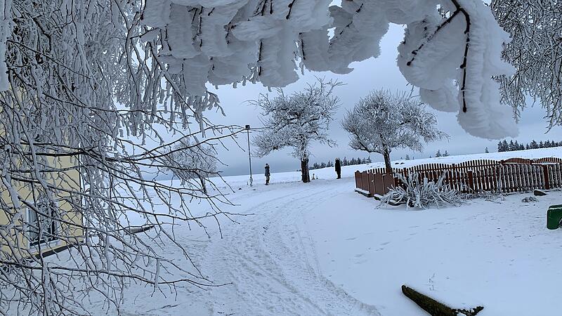
With profound forecasts, Christian Nimmervoll analyzes the weather in the Mühlviertel from Kirchschlag. When looking at the various weather models, worry lines appear on the forehead of the operator of wetter-muehlviertel.at: “Above about 700 meters, the situation with hoarfrost and ice on the trees is critical,” he says. Relaxation is not in sight – on the contrary. Trees are already breaking under the load, and minor power outages are being reported regionally.
Windy week coming up
The Mühlviertler forecast: “With the increasingly stormy westerly wind from Monday, more trees will break. Traffic obstructions and power outages will probably become more frequent, and there will also be more and more obstructions from snowdrifts in open areas.” One reason for this is the expected amount of fresh snow: On Monday it should start snowing from the north-west in the late morning. First at low altitudes, then in the afternoon above 300 to 500 meters. The wind was also an issue on Monday. Gusts of up to 70 km/h are expected. Therefore, especially in forests at higher altitudes, a state of alert is called for. Further snow showers and stormy winds of up to 80 km/h are also expected in the Mühlviertel on Tuesday night.
Wednesday and Thursday will also see snowfall – or rain – and strong winds. All in all, the people of Mühlviertel will probably have to prepare for a turbulent week, because the weather models do not allow any other forecasts for the next weekend either. The big problem child is the forest, because the wind puts a strain on the trees, which already have to carry enormous loads. Although such situations are known from the past, a whole week of such weather is also a special feature in the Mühlviertel.
- www.wetter-muehlviertel.at
Source: Nachrichten


