Image: Alois Peham
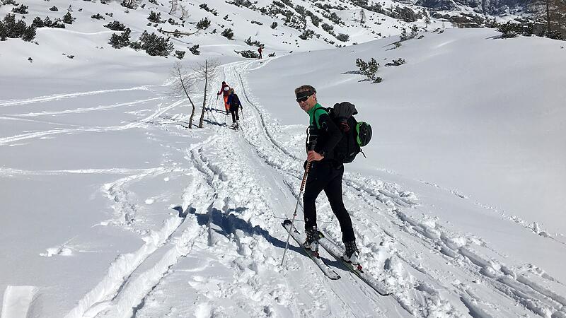
Image: Alois Peham
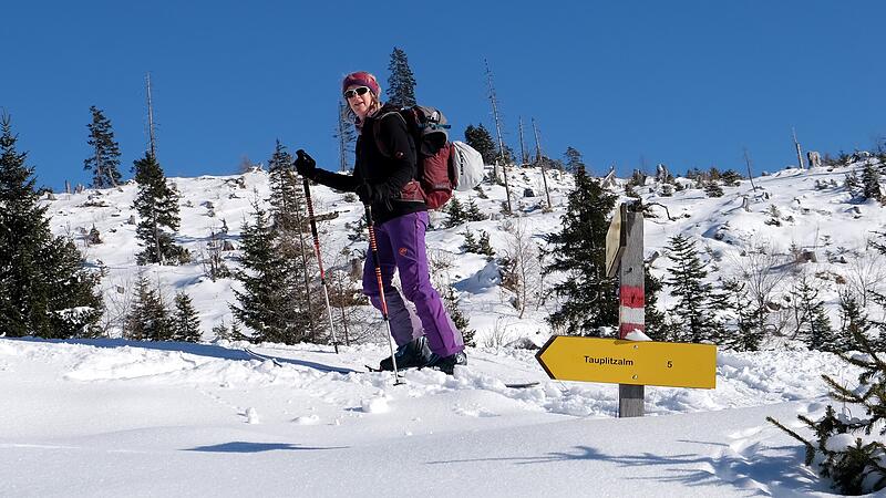
Image: Alois Peham
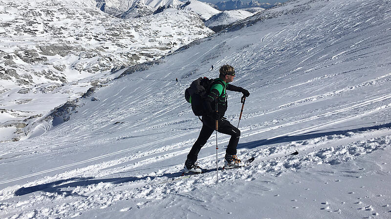
Image: Alois Peham
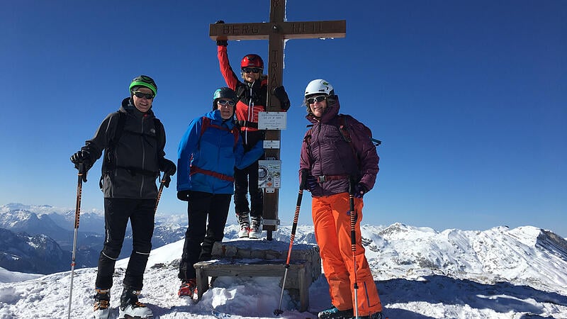
Image: Alois Peham
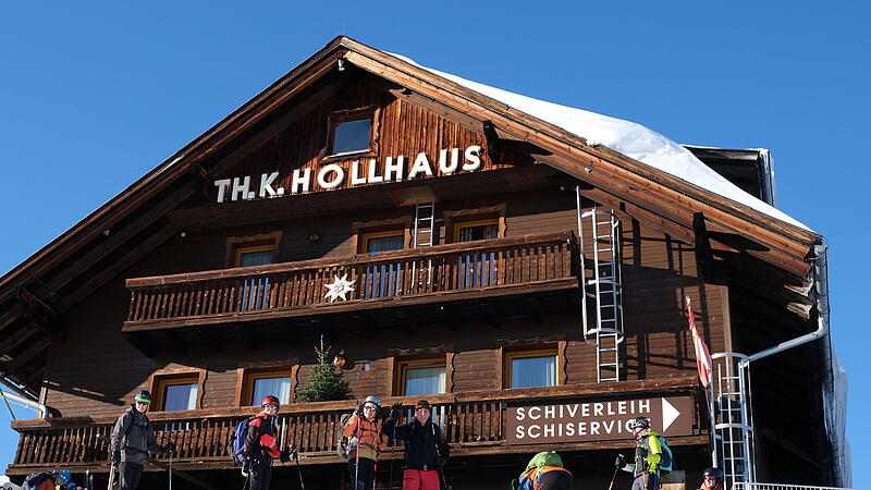
Image: Alois Peham
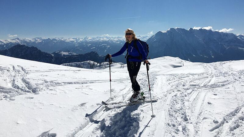
The winter sports possibilities up on the Tauplitz are diverse. In addition to skiing, cross-country skiing and winter hiking, there are also beautiful snowshoe routes and worthwhile tours for ski tourers. Since winter 2019/20 there has also been a signposted ski touring trail from Bad Mitterndorf/Zauchen up to the Tauplitzalm. Away from the pistes, this scenic route leads upwards in varied terrain. We would like to present this valley ascent and the classic from the Tauplitzalm to the Große Tragl here.

Image: Alois Peham
Ski touring route from Bad Mitterndorf: Start is in the district of Zauchen at the parking lot at the end of the street. Follow the forest road for a short distance, then climb up a slope to a spacious meadow area, over which you gradually get higher. You climb up to a forest road, on which you soon reach the valley station of the gondola lift. Following the signs, turn right through the forest in hilly terrain higher up to the Brentenmöserhütte. Here the piste is crossed, you continue to follow the track through Hochwald to the downhill piste to Tauplitz. Along this you climb the last few meters of altitude and reach the parking lot of the mountain road by gliding down a short distance. The alpine pasture area is reached, and the last few meters of altitude lead in hairpin bends up to the Hollhaus, which is already in view, for a well-deserved stop.

Image: Alois Peham
Ski tour on the Große Tragl: From the mountain station of the chairlift or the car park at the end of the mountain road, first follow the wide winter path that leads past huts to the eastern edge of the alpine plateau and further down to the Steirersee huts. Here begins the ascent over stepped terrain up to the north. You orientate yourself on the pole markings, which indicate the route at respectful distances from the steep rock faces. The young farmer’s cross at the side of the path is reminiscent of a tragic sinkhole fall by a mountaineer in the 1950s and was intended as a warning not to leave the path. Even before you dive into the endless expanse of the Dead Mountains, it turns left over the Traglhals to the summit ridge, and soon the summit cross is reached. The reward is an impressive all-round view.

Image: Alois Peham
For the descent, you essentially stick to the ascent route. If the conditions are good and you have the appropriate experience, the variant with the descent through the Geisterwald to the Ödernalm is recommended. It is scenically impressive from the Traglhals down into the Haberboden and over the Gaßlrücken into the Langkar, which is bordered by the rock faces between Sturzhahn and Traweng. As if by magic, boulders lie randomly in the area further down, and through the sparse forest you reach the huts of the Ödernalm. Here the skins come on the skis again to tackle the approximately one-hour climb up to the Tauplitzalm. Climb up slopes that soon become steeper and reach the plateau at Öderntörl. From the Großsee you can then take the tow lift or use your own muscle power back up to the alpine plateau.

Image: Alois Peham
Information about the tour
Ski touring route from Bad Mitterndorf
Walking time ascent: 2.5 hours
Length: 7 km
Altitude: 800, toll booth (830 m) – Zauchen car park (880 m) – valley station gondola lift (1200 m) – Hollhaus (1621 m)
Large Tragl
Total walking time: 4 hours, via Ödernalm 5 to 6 hours
Length: 18.5 km (with descent via piste)
Altitude: 800 or 1100 (via Ödernalm), chairlift mountain station (1630 m) – Steirerseehütten (1540 m) – Großes Tragl (2179 m) – Ödernalm (1220 m) – Öderntörl (1588 m) – Tauplitzalm (1630 m) – Tauplitz valley station ( 900m)
- Internet: dietauplitz.com
Starting point: If there is enough snow, you can start the ski tour route at the Tauplitzstraße toll station in Bad Mitterndorf. There is also a bus from the train station to get there. The Zauchen car park is in the Zauchen district near the Gewessler guest house. Anyone setting out on a tour of the Große Tragl can take the chairlift from Tauplitz Ort up to the Tauplitzalm.
You can also start at the parking lot at the end of the Bergstrasse. The ski bus goes there from the train station (dietauplitz.com/de/ski/skibusfahrplan.php).
Characteristic: Difficulty: II–III, the ski tour route is a safe ascent when there is enough snow. The tour to the Große Tragl requires touring experience. You will hardly be alone on the trail, a good assessment of the avalanche danger is necessary, especially with the variant into the Öderntal.
By the wayside
Refreshment stop and overnight stay: An ideal destination at the end of the tour route is the stop in the Hollhaus. It is also a good base for several days (hollhaus.at).

Image: Alois Peham
There are other refreshment stops and huts on the Tauplitzalm, such as the Naturfreundehaus, which has started this winter season with new tenants (tauplitzhaus.at). Guests are also welcomed in the Alpine Club’s Tauplitzhaus in Linz (linzer-tauplitzhaus.com).
Source: Nachrichten

